
Файл:Mark Meißen und Lausitz um 1600, Bartholomäus Scultetus.jpg

Арыгінальны файл (1 406 × 1 999 кропак, аб’ём файла: 627 KB, тып MIME: image/jpeg)
Тлумачэнне
| Апісанне |
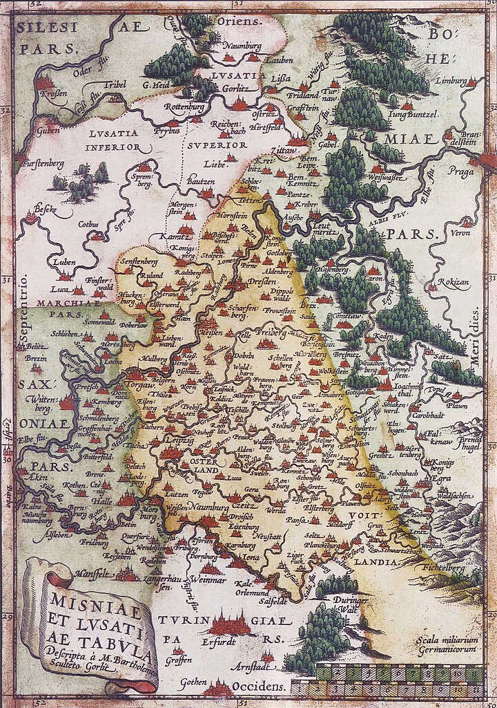
Deutsch: Karte der Mark Meißen und der Lausitz um 1600; Norden ist links und die Blickrichtung geht von West nach Ost. English: Map of Meissen an Lusatia around 1600; North to the left |
||||||||||||||||||||
| Дата | circa 1600 | ||||||||||||||||||||
| Крыніца | |||||||||||||||||||||
| Аўтар |
|
||||||||||||||||||||
| Іншыя версіі |
 |
||||||||||||||||||||

Ліцэнзіяванне
|
This work is in the public domain in its country of origin and other countries and areas where the copyright term is the author's life plus 70 years or fewer.
| |
| Гэты файл быў ідэнтыфікаваны як вольны ад вядомых абмежаванняў, згодна з законам аб аўтарскім праве, а таксама ад усіх сумежных правоў. | |
Гісторыя файла
Націснуць на даце з часам, каб паказаць файл, якім ён тады быў.
| Дата і час | Драбніца | Памеры | Удзельнік | Тлумачэнне | |
|---|---|---|---|---|---|
| актуальн. | 19:36, 26 сакавіка 2006 | | 1 406 × 1 999 (627 KB) | Torsten Schleese | Karte der Mark Meíßen und der Lausitz um 1600 Category:Torsten Schleese {{PD-old}} |
Выкарыстанне файла
Наступная 1 старонка выкарыстоўвае гэты файл:
Глабальнае выкарыстанне файла
Гэты файл выкарыстоўваецца ў наступных вікі:
- Выкарыстанне ў bg.wikipedia.org
- Выкарыстанне ў cs.wikipedia.org
- Выкарыстанне ў de.wikipedia.org
- Выкарыстанне ў it.wikipedia.org
- Выкарыстанне ў pl.wikipedia.org
- Выкарыстанне ў ru.wikipedia.org
- Выкарыстанне ў uk.wikipedia.org