
Файл:Blankmap-ao-090S-south pole.png

Памер папярэдняга прагляду: 600 × 600 пікселяў. Іншыя разрозненні: 240 × 240 пікселяў | 480 × 480 пікселяў | 726 × 726 пікселяў.
Арыгінальны файл (726 × 726 кропак, аб’ём файла: 9 KB, тып MIME: image/png)

|
This locator map image could be re-created using vector graphics as an SVG file. This has several advantages; see Commons:Media for cleanup for more information. If an SVG form of this image is available, please upload it and afterwards replace this template with
{{vector version available|new image name}}.
It is recommended to name the SVG file “Blankmap-ao-090S-south pole.svg”—then the template Vector version available (or Vva) does not need the new image name parameter. |
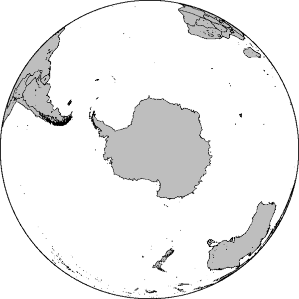
Azimuthal orthographic map projection of coords 90°S/0°.
See Image:Blankmap-ao-090S-south pole.xcf for an XCF file with separate layers for water, land, coastlines, political borders, political borders over water (not shown), and latitude & longitude gridlines (not shown).
Created by User:Reisio with GMT.
Reisio, уладальнік аўтарскіх правоў на гэты твор, добраахвотна публікуе яе на ўмовах наступнай ліцэнзіі:
| Я, уладальнік аўтарскіх правоў на гэты твор, перадаю яго ў грамадскі набытак. Дазвол сапраўдны для ўсяго свету. У некаторых краінах гэта не можа быць юрыдычна магчыма; калі так, то: Я дазваляю кожнаму выкарыстоўваць гэтую працу ў любых мэтах, без аніякіх умоваў, калі толькі такія ўмовы не патрабуюцца паводле закону. |
Гісторыя файла
Націснуць на даце з часам, каб паказаць файл, якім ён тады быў.
| Дата і час | Драбніца | Памеры | Удзельнік | Тлумачэнне | |
|---|---|---|---|---|---|
| актуальн. | 09:47, 7 лютага 2010 | | 726 × 726 (9 KB) | Reisio | Reverted to version as of 11:36, 13 October 2005 |
| 09:46, 7 лютага 2010 | Без драбніцы | (307 KB) | Reisio | must I really? :p | |
| 09:43, 7 лютага 2010 | Без драбніцы | (81 KB) | Reisio | must I really? :p | |
| 14:36, 13 кастрычніка 2005 |  | 726 × 726 (9 KB) | Reisio | Created by User:Reisio with GMT.{{pd}} |
Выкарыстанне файла
Няма старонак, якія выкарыстоўваюць гэты файл.