
Файл:Germanic dialects ca. AD 1.png

Памер папярэдняга прагляду: 536 × 600 пікселяў. Іншыя разрозненні: 215 × 240 пікселяў | 429 × 480 пікселяў | 687 × 768 пікселяў | 915 × 1 024 пікселяў | 2 067 × 2 312 пікселяў.
Арыгінальны файл (2 067 × 2 312 кропак, аб’ём файла: 776 KB, тып MIME: image/png)
| Апісанне |
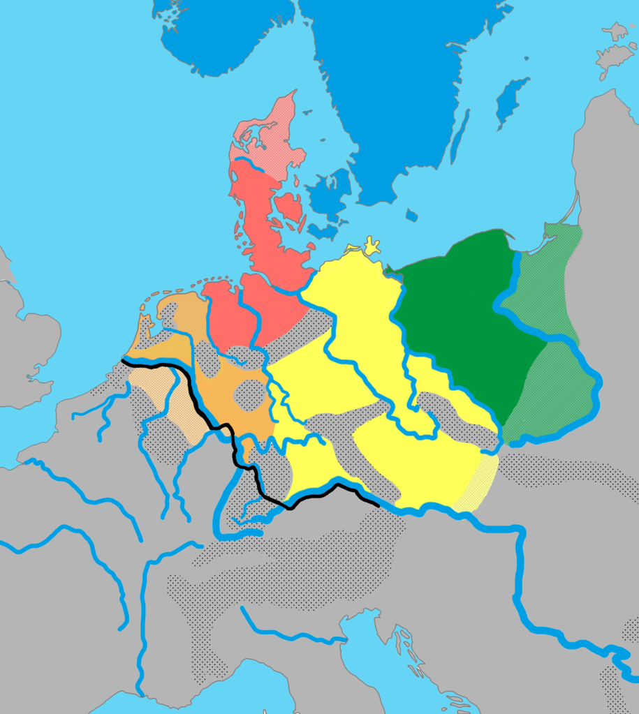
English: The distribution of the primary Germanic dialect groups in Europe around AD 0-100:
|
||
| Дата | |||
| Крыніца | Based on Germanic Groups ca. 0CE.jpg by Varoon Arya (source used is König, Werner (2001). dtv-Atlas Deutsche Sprache. München: Deutscher Taschenbuch Verlag 2001. ISBN: 3-423-03025-9; pp. 46, 52.), The Indo-European Languages, A G Ramat, P Ramat. Taylor & Francis, 1998. ISBN 041506449X. A Culture Cycle from the Early and Middle Bronze Age. Jan Dobrowski. Archaeologia Polonia. XVI, 1975, Hansjörg Küster: Geschichte des Waldes. Von der Urzeit bis zur Gegenwart. Beck, Munich, 1998, and, The Early Germans, Malcolm Todd (2004). | ||
| Аўтар | AKAKIOS | ||
| Дазвол (Паўторнае выкарыстанне гэтага файла) |
Гэты файл даступны па ліцэнзіям Creative Commons Пазначэнне аўтарства - На тых самых умовах 2.5 Агульны, 2.0 Агульны і 1.0 Агульны.
|
||
| Іншыя версіі |
|

Гісторыя файла
Націснуць на даце з часам, каб паказаць файл, якім ён тады быў.
| Дата і час | Драбніца | Памеры | Удзельнік | Тлумачэнне | |
|---|---|---|---|---|---|
| актуальн. | 18:20, 14 красавіка 2022 | | 2 067 × 2 312 (776 KB) | Mårtensås | Reverted to version as of 11:11, 11 January 2022 (UTC) |
| 18:18, 14 красавіка 2022 |  | 2 067 × 2 312 (767 KB) | Mårtensås | Minor olor fix | |
| 14:11, 11 студзеня 2022 |  | 2 067 × 2 312 (776 KB) | Vlaemink | This map seems to show a situation closer to 400-600 CE than 1CE, according to Seebold (Seebold, Elmar (2003): Die Herkunft der Franken, Friesen und Sachsen) the Northsea Germanic territories at this point in time did not yet include the Northern Netherlands. | |
| 18:43, 15 кастрычніка 2018 |  | 2 067 × 2 312 (791 KB) | Ax quinque | Reverted to version as of 09:48, 4 May 2018 (UTC) Reverted to more detailed version of the map by AKAKIOS. | |
| 14:30, 22 жніўня 2018 |  | 419 × 431 (15 KB) | Shmurak | Reverted to stable version | |
| 12:48, 4 мая 2018 |  | 2 067 × 2 312 (791 KB) | E-960 | Reverted to version as of 20:02, 5 December 2017 (UTC) The other map's boundaries look suspiciously like the boundaries of the Greater Third Reich (see talk page) | |
| 14:12, 30 сакавіка 2018 |  | 419 × 431 (36 KB) | Til Eulenspiegel | Reverted to version as of 17:44, 5 December 2017 (UTC) used on 3 pages in am., we never wanted a new version, just make a new file instead of overwrite this one we use | |
| 23:02, 5 снежня 2017 |  | 2 067 × 2 312 (791 KB) | AKAKIOS | Reverted to version as of 20:06, 3 December 2017 (UTC) Assuming good faith, while waiting on sources for claims. | |
| 22:58, 5 снежня 2017 |  | 2 067 × 2 312 (816 KB) | AKAKIOS | Reverted to version as of 07:50, 4 December 2017 (UTC) | |
| 20:44, 5 снежня 2017 |  | 419 × 431 (36 KB) | Thomas.W | Reverted to version as of 01:37, 4 December 2017 (UTC): Revert unsourced/OR with misleading claim about being sourced, the changes made can not be found in the image given as source |
Выкарыстанне файла
Няма старонак, якія выкарыстоўваюць гэты файл.
Глабальнае выкарыстанне файла
Гэты файл выкарыстоўваецца ў наступных вікі:
- Выкарыстанне ў af.wikipedia.org
- Выкарыстанне ў am.wikipedia.org
- Выкарыстанне ў an.wikipedia.org
- Выкарыстанне ў ar.wikipedia.org
- Выкарыстанне ў be-tarask.wikipedia.org
- Выкарыстанне ў bg.wikipedia.org
- Выкарыстанне ў cs.wikipedia.org
- Выкарыстанне ў de.wikipedia.org
- Выкарыстанне ў el.wikipedia.org
- Выкарыстанне ў en.wikipedia.org
- Suebi
- Proto-Germanic language
- Talk:Low Franconian
- East Germanic languages
- Ingaevones
- Istvaeones
- North Sea Germanic
- List of Indo-European languages
- Frankish language
- List of early Germanic peoples
- Talk:List of early Germanic peoples
- Elbe Germanic
- Weser–Rhine Germanic
- Dutch language
- User:Kazkaskazkasako/Books/All
- Ingvaeonic nasal spirant law
- North Germanic peoples
- Elbe Germanic peoples
- User:AKAKIOS/sandbox
- User:Falcaorib
- Early Germanic culture
- Выкарыстанне ў es.wikipedia.org
- Выкарыстанне ў fa.wikipedia.org
- Выкарыстанне ў fi.wikipedia.org
- Выкарыстанне ў fr.wikipedia.org
- Выкарыстанне ў fy.wikipedia.org
- Выкарыстанне ў gl.wikipedia.org
- Выкарыстанне ў he.wikipedia.org
- Выкарыстанне ў hy.wikipedia.org
- Выкарыстанне ў id.wikipedia.org
Паказаць глабальнае выкарыстанне гэтага файла.