
Файл:Hainan Island topographical.jpg
Арыгінальны файл (3 809 × 3 290 кропак, аб’ём файла: 6,14 MB, тып MIME: image/jpeg)
Тлумачэнне
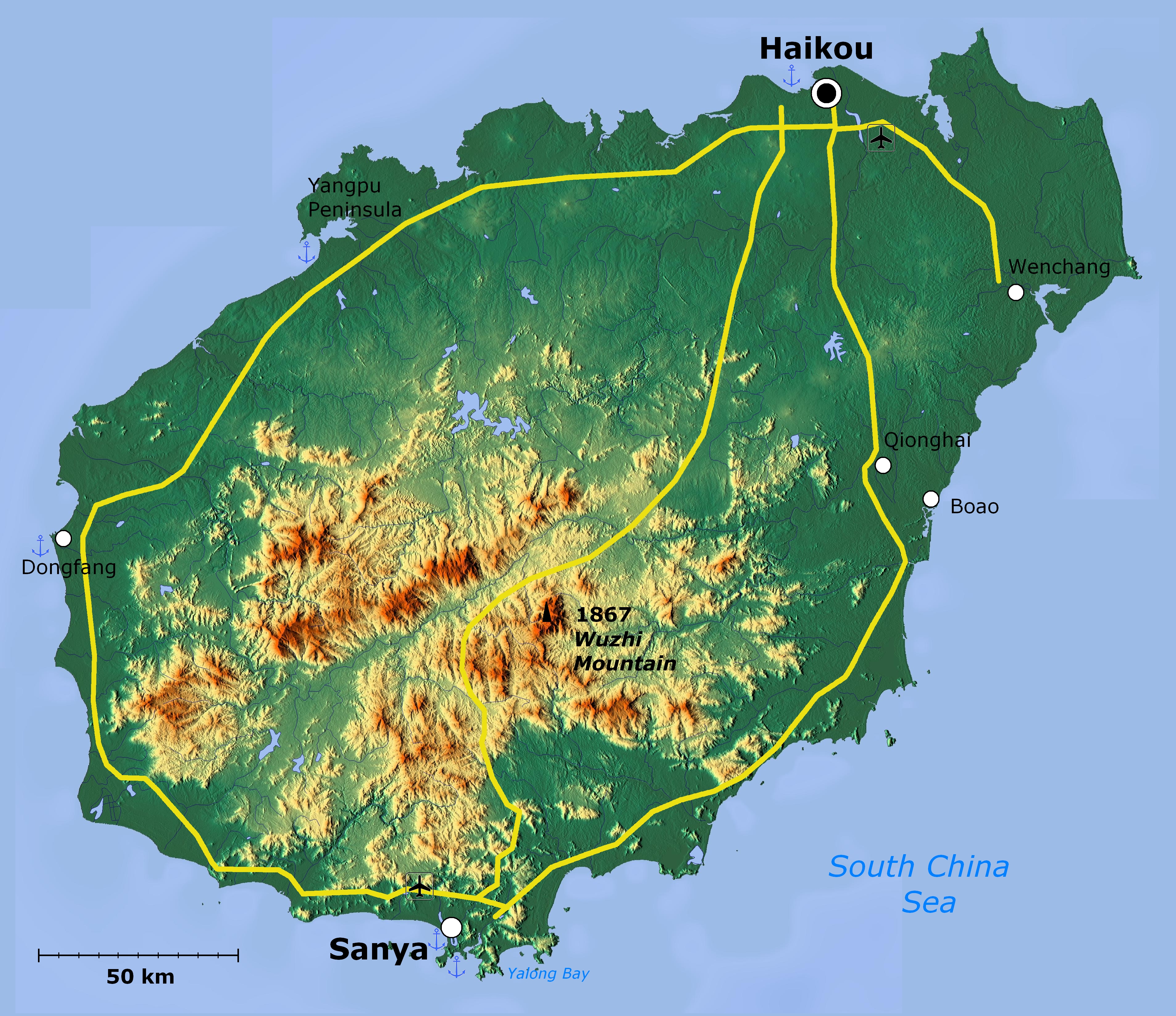
| Апісанне | Topographical map of Hainan Island — in Hainan Province, Southeast China. | ||
| Дата | |||
| Крыніца | http://www.maps-for-free.com/ | ||
| Аўтар |
|
||
| Дазвол (Паўторнае выкарыстанне гэтага файла) |
http://www.maps-for-free.com/html/about.html
|
||
| Іншыя версіі |

|
This map image could be re-created using vector graphics as an SVG file. This has several advantages; see Commons:Media for cleanup for more information. If an SVG form of this image is available, please upload it and afterwards replace this template with
{{vector version available|new image name}}.
It is recommended to name the SVG file “Hainan Island topographical.svg”—then the template Vector version available (or Vva) does not need the new image name parameter. |


Ліцэнзіяванне
This screenshot either does not contain copyright-eligible parts or visuals of copyrighted software, or the author has released it under a free license (which should be indicated beneath this notice), and as such follows the licensing guidelines for screenshots of Wikimedia Commons. You may use it freely according to its particular license. Free software license:

|
Дазваляецца капіяваць, распаўсюджваць і(або) мадыфікаваць гэты дакумент на ўмовах ліцэнзіі GNU FDL версіі 1.2 або навейшай, выдадзенай Фондам свабоднага праграмнага забеспячэння; без Нязменных раздзелаў, без тэкстаў Вокладак. Копія ліцэнзіі ёсць у раздзеле GNU Free Documentation License. |
Note: if the screenshot shows any work that is not a direct result of the program code itself, such as a text or graphics that are not part of the program, the license for that work must be indicated separately.
Гісторыя файла
Націснуць на даце з часам, каб паказаць файл, якім ён тады быў.
| Дата і час | Драбніца | Памеры | Удзельнік | Тлумачэнне | |
|---|---|---|---|---|---|
| актуальн. | 05:39, 19 красавіка 2011 | | 3 809 × 3 290 (6,14 MB) | Viriditas | Upload new version modified by Anna Frodesiak |
| 04:13, 2 красавіка 2011 |  | 3 809 × 3 290 (6,34 MB) | Guerillero | {{convert to SVG|map}} {{Information |Description=Hainan Island, China - topographical map |Source=http://www.maps-for-free.com/ |Date=2011-04-02 |Author=Modified by Anna Frodesiak |Permission=http://www.maps-for-free.com/html/about.html |other_versions= |
Выкарыстанне файла
Наступныя 2 старонкі выкарыстоўваюць гэты файл:
Глабальнае выкарыстанне файла
Гэты файл выкарыстоўваецца ў наступных вікі:
- Выкарыстанне ў af.wikipedia.org
- Выкарыстанне ў ar.wikipedia.org
- Выкарыстанне ў az.wikipedia.org
- Выкарыстанне ў en.wikipedia.org
- Выкарыстанне ў et.wikipedia.org
- Выкарыстанне ў fi.wikipedia.org
- Выкарыстанне ў hy.wikipedia.org
- Выкарыстанне ў ja.wikipedia.org
- Выкарыстанне ў mn.wikipedia.org
- Выкарыстанне ў ru.wikipedia.org
- Выкарыстанне ў ru.wiktionary.org
- Выкарыстанне ў vi.wikipedia.org
- Выкарыстанне ў zh-min-nan.wikipedia.org
- Hái-lâm-séng
- Hái-kháu-chhī
- Sam-a-chhī
- Bûn-chhiong-chhī
- Ngó͘-chí-san-chhī
- Sam-soa-chhī
- Tam-chiu-chhī
- Khêng-hái-chhī
- Bān-lêng-chhī
- Tang-hng-chhī
- Tēng-an-koān
- Pang-bô͘:Hái-lâm ê hêng-chèng-khu
- Lîm-ko-koān
- Têng-māi-koān
- Tūn-chhiong-koān
- Chhiong-kang Lê-cho̍k Chū-tī-koān
- Pe̍k-soa Lê-cho̍k Chū-tī-koān
- Khêng-tiong Lê-cho̍k Biâu-cho̍k Chū-tī-koān
- Lêng-chúi Lê-cho̍k Chū-tī-koān
- Pó-têng Lê-cho̍k Biâu-cho̍k Chū-tī-koān
- Lo̍k-tong Lê-cho̍k Chū-tī-koān
- Bí-lân-khu
- Khêng-san-khu
- Liông-hoâ-khu (Hái-kháu)
- Siù-eng-khu
- Kiat-iông-khu
- Hái-tông-khu
- Thian-gâi-khu
- Gâi-chiu-khu
- Выкарыстанне ў zh.wikipedia.org