
Файл:Mary El map.png
Няма версіі з большай раздзяляльнасцю.
Mary_El_map.png (557 × 368 кропак, аб’ём файла: 31 KB, тып MIME: image/png)

|
This locator map image could be re-created using vector graphics as an SVG file. This has several advantages; see Commons:Media for cleanup for more information. If an SVG form of this image is available, please upload it and afterwards replace this template with
{{vector version available|new image name}}.
It is recommended to name the SVG file “Mary El map.svg”—then the template Vector version available (or Vva) does not need the new image name parameter. |
Тлумачэнне
| Апісанне |
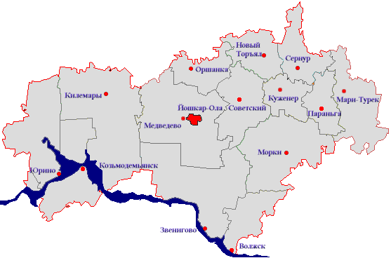
Русский: Карта Марий Эл |
| Дата | |
| Крыніца | Transferred from ru.wikipedia |
| Аўтар | Torin at ru.wikipedia |
| Дазвол (Паўторнае выкарыстанне гэтага файла) |
Released into the public domain (by the author) |
Ліцэнзіяванне
| |
Гэты твор быў перададзены ў грамадскі набытак яго аутарам, Torin, at the англійская Вікіпедыя project. Дазвол сапраўдны для ўсяго свету. In case this is not legally possible: |
Журнал арыгінальнай загрузкі
Original description page is/was here. All user names refer to ru.wikipedia:
- 2006-10-30 10:19 Torin 557×368×8 (32254 bytes) {{Изображение |Название = Карта Марий Эл |Описание = карта |Автор = Torin |Время создания = 30 октября 2006 |Источник = Источник |Лицензия = {{PD-user|Torin
Гісторыя файла
Націснуць на даце з часам, каб паказаць файл, якім ён тады быў.
| Дата і час | Драбніца | Памеры | Удзельнік | Тлумачэнне | |
|---|---|---|---|---|---|
| актуальн. | 20:23, 31 сакавіка 2007 | | 557 × 368 (31 KB) | Electionworld | {{Information |Description={{Изображение |Название = Карта Марий Эл |Описание = карта |Автор = Torin |Время создания = 30 октября 2006 |Источник = Источник |Лиц� |
Выкарыстанне файла
Няма старонак, якія выкарыстоўваюць гэты файл.
Глабальнае выкарыстанне файла
Гэты файл выкарыстоўваецца ў наступных вікі:
- Выкарыстанне ў be-tarask.wikipedia.org
- Выкарыстанне ў cv.wikipedia.org
- Выкарыстанне ў pl.wikipedia.org
- Выкарыстанне ў tr.wikipedia.org
- Выкарыстанне ў uk.wikipedia.org