
Файл:Roman provinces in a 1867 school atlas.jpg

Арыгінальны файл (3 717 × 2 866 кропак, аб’ём файла: 969 KB, тып MIME: image/jpeg)
Тлумачэнне
| Апісанне |
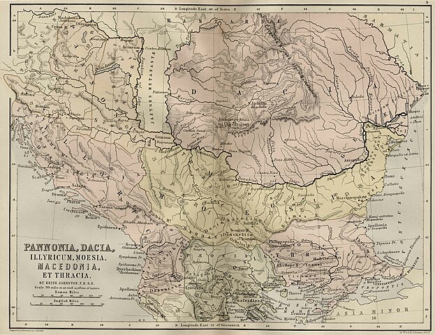
Pannonia, Illyricum, Moesia, Macedonia Et Thracia,(Map 9)
|
||||
| Дата | uploaded 20 August 2005, made 1867 | ||||
| Крыніца | School Atlas of classical geography: comprising, in twenty-three plates by Alexander Keith Johnston, Publisher;William Blackwood and Sons,1867 | ||||
| Аўтар | Alexander Keith Johnston | ||||
| Дазвол (Паўторнае выкарыстанне гэтага файла) |
|
||||
Гісторыя файла
Націснуць на даце з часам, каб паказаць файл, якім ён тады быў.
| Дата і час | Драбніца | Памеры | Удзельнік | Тлумачэнне | |
|---|---|---|---|---|---|
| актуальн. | 15:09, 20 жніўня 2005 | | 3 717 × 2 866 (969 KB) | Bogdan | Pannonia, Dacia, Illyria, Moesia {{PD}} Public Domain map from an old book. Category:Roman provinces Category:Dacia |
Выкарыстанне файла
Наступная 1 старонка выкарыстоўвае гэты файл:
Глабальнае выкарыстанне файла
Гэты файл выкарыстоўваецца ў наступных вікі:
- Выкарыстанне ў ar.wikipedia.org
- Выкарыстанне ў azb.wikipedia.org
- Выкарыстанне ў de.wikipedia.org
- Выкарыстанне ў el.wikipedia.org
- Выкарыстанне ў en.wikipedia.org
- Выкарыстанне ў es.wikipedia.org
- Выкарыстанне ў fa.wikipedia.org
- Выкарыстанне ў id.wikipedia.org
- Выкарыстанне ў ko.wikipedia.org
- Выкарыстанне ў mt.wikipedia.org
- Выкарыстанне ў nl.wikipedia.org
- Выкарыстанне ў pt.wikipedia.org
- Выкарыстанне ў ru.wikipedia.org
- Выкарыстанне ў sl.wikipedia.org
- Выкарыстанне ў sr.wikipedia.org
- Выкарыстанне ў tr.wikipedia.org
- Выкарыстанне ў uk.wikipedia.org