
Файл:US map - rivers and lakes.png
Памер папярэдняга прагляду: 776 × 600 пікселяў. Іншыя разрозненні: 311 × 240 пікселяў | 621 × 480 пікселяў | 994 × 768 пікселяў | 1 280 × 989 пікселяў | 1 584 × 1 224 пікселяў.
Арыгінальны файл (1 584 × 1 224 кропак, аб’ём файла: 301 KB, тып MIME: image/png)

|
This map image could be re-created using vector graphics as an SVG file. This has several advantages; see Commons:Media for cleanup for more information. If an SVG form of this image is available, please upload it and afterwards replace this template with
{{vector version available|new image name}}.
It is recommended to name the SVG file “US map - rivers and lakes.svg”—then the template Vector version available (or Vva) does not need the new image name parameter. |
Тлумачэнне
.
- Credits
- Author: US Department of Interior
- Source: http://nationalatlas.gov, there also available as PDF
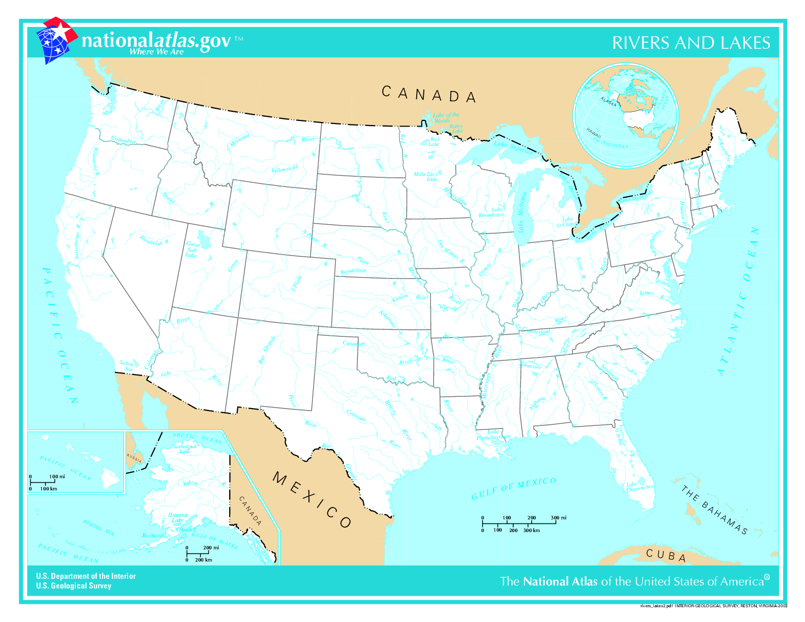
This map was obtained from an edition of the National Atlas of the United States. Like almost all works of the U.S. federal government, works from the National Atlas are in the public domain in the United States.
Online access: NationalAtlas.gov | 1970 print edition: Library of Congress, Perry-Castañeda Library
|
List of images provided by user Duesentrieb (This link helps me to find all my images) -- Duesentrieb
Гісторыя файла
Націснуць на даце з часам, каб паказаць файл, якім ён тады быў.
| Дата і час | Драбніца | Памеры | Удзельнік | Тлумачэнне | |
|---|---|---|---|---|---|
| актуальн. | 18:11, 12 лістапада 2004 | | 1 584 × 1 224 (301 KB) | Duesentrieb | Rivers and lakes in the US; Dept. of Interior, Public Domain |
Выкарыстанне файла
Няма старонак, якія выкарыстоўваюць гэты файл.
Глабальнае выкарыстанне файла
Гэты файл выкарыстоўваецца ў наступных вікі:
- Выкарыстанне ў bg.wikipedia.org
- Выкарыстанне ў fr.wikiversity.org
- Выкарыстанне ў ro.wikipedia.org
- Выкарыстанне ў sl.wikipedia.org
- Выкарыстанне ў uk.wikipedia.org