
Файл:Antigua and Barbuda location map Topographic.png
Памер папярэдняга прагляду: 521 × 599 пікселяў. Іншыя разрозненні: 209 × 240 пікселяў | 417 × 480 пікселяў | 668 × 768 пікселяў | 1 111 × 1 278 пікселяў.
Арыгінальны файл (1 111 × 1 278 кропак, аб’ём файла: 300 KB, тып MIME: image/png)
Тлумачэнне
| Апісанне |
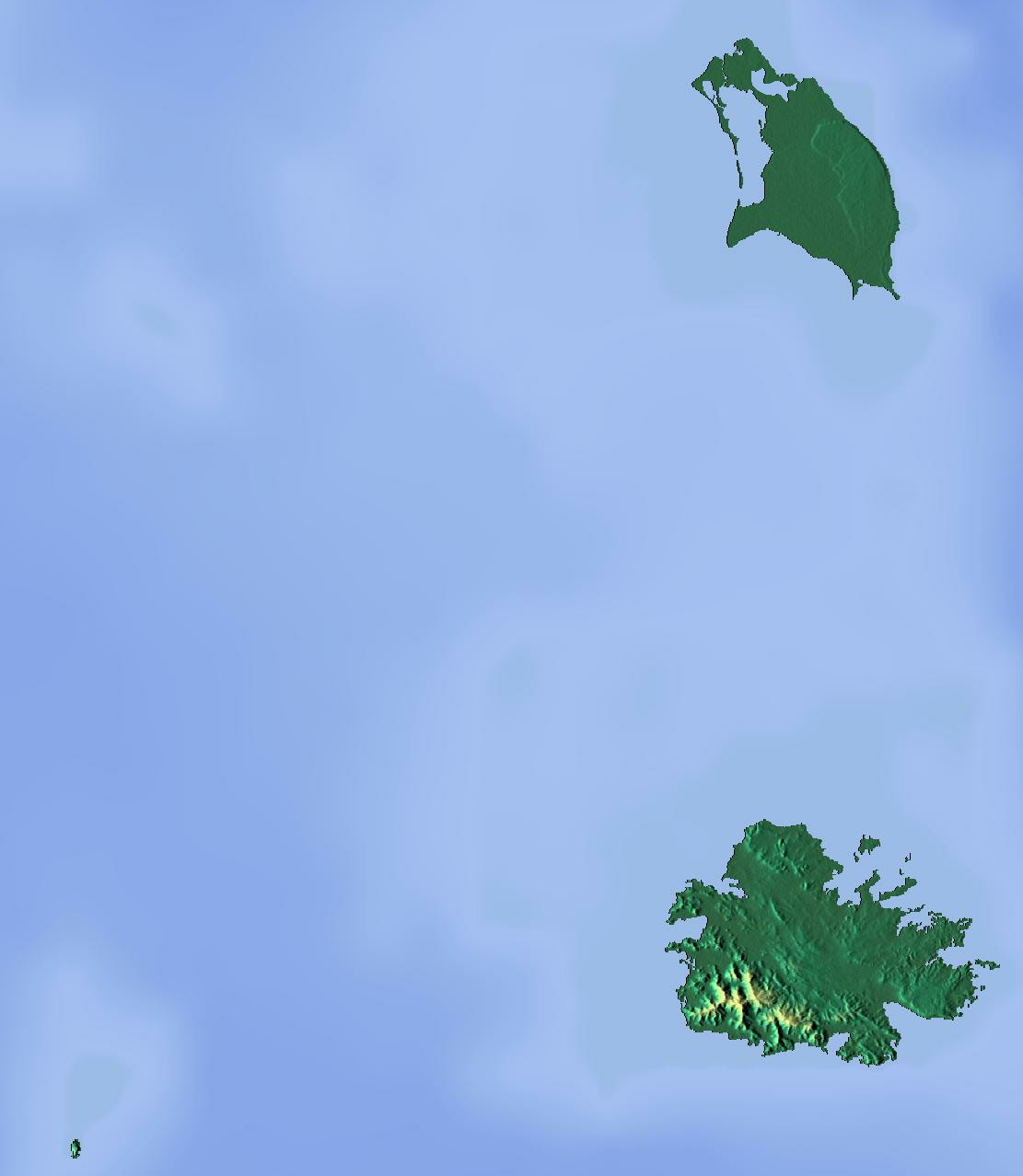
Deutsch: Positionskarte von Antigua und Barbuda. Geographische Begrenzungen der Karte:
English: Location map of Antigua and Barbuda. Geographic limits of the map:
|
| Дата | |
| Крыніца | Уласная праца (backgroung : http://www.maps-for-free.com) |
| Аўтар | Dr Brains |
Ліцэнзіяванне
Я, уладальнік аўтарскіх правоў на гэты твор, добраахвотна публікую яго на ўмовах наступных ліцэнзій:

|
Дазваляецца капіяваць, распаўсюджваць і/або змяняць гэты дакумент на ўмовах ліцэнзіі GNU FDL толькі Версіі 1.2, выдадзенай Фондам свабоднага праграмнага забеспячэння; без Нязменных раздзелаў, без Тэкстаў на пярэдняй вокладцы і без Тэкстаў на задняй вокладцы. Копія ліцэнзіі ёсць у раздзеле GNU Free Documentation License. | толькі 1.2 |
|
|
Дазваляецца капіяваць, распаўсюджваць і/або змяняць гэты дакумент на ўмовах ліцэнзіі GNU FDL, Версіі 1.3 або навейшай, выдадзенай Фондам свабоднага праграмнага забеспячэння; без Нязменных раздзелаў, без Тэкстаў на пярэдняй вокладцы і без Тэкстаў на задняй вокладцы. Копія ліцэнзіі ёсць у раздзеле GNU Free Documentation License.
|
Вы можаце выбраць любую з гэтых ліцэнзій.
Гісторыя файла
Націснуць на даце з часам, каб паказаць файл, якім ён тады быў.
| Дата і час | Драбніца | Памеры | Удзельнік | Тлумачэнне | |
|---|---|---|---|---|---|
| актуальн. | 19:46, 13 чэрвеня 2012 | | 1 111 × 1 278 (300 KB) | Dr Brains |
Выкарыстанне файла
Наступныя 2 старонкі выкарыстоўваюць гэты файл:
Глабальнае выкарыстанне файла
Гэты файл выкарыстоўваецца ў наступных вікі:
- Выкарыстанне ў ar.wikipedia.org
- Выкарыстанне ў ast.wikipedia.org
- Выкарыстанне ў bg.wikipedia.org
- Выкарыстанне ў bn.wikipedia.org
- Выкарыстанне ў bs.wikipedia.org
- Выкарыстанне ў ceb.wikipedia.org
- Выкарыстанне ў cs.wikipedia.org
- Выкарыстанне ў el.wikipedia.org
- Выкарыстанне ў en.wikipedia.org
- Redonda
- Antigua
- Prickly Pear Island
- Great Bird Island (Antigua and Barbuda)
- Crump Island
- Guiana Island
- Long Island (Antigua and Barbuda)
- Green Island (Antigua and Barbuda)
- Boggy Peak
- Codrington Lagoon
- Pelican Island (Antigua and Barbuda)
- McKinnon's Pond
- Module:Location map/data/Antigua and Barbuda/doc
- Antigua Formation
- Central Plain Group
- Highlands Formation
- List of fossiliferous stratigraphic units in the Caribbean
- Codrington Island
- Hell's Gate Island
- Maiden Island (Antigua and Barbuda)
- 1974 Lesser Antilles earthquake
- Module:Location map/data/Antigua and Barbuda
- User:Ty654/List of earthquakes from 1950-1999 exceeding magnitude 7+
- User:Ty654/List of earthquakes from 1960-1964 exceeding magnitude 6+
- Antigua Naval Dockyard and Related Archaeological Sites
- Выкарыстанне ў eo.wikipedia.org
- Выкарыстанне ў fa.wikipedia.org
- Выкарыстанне ў fr.wikipedia.org
Паказаць глабальнае выкарыстанне гэтага файла.