
Файл:Island of Ireland relief location map.png
Памер папярэдняга прагляду: 481 × 599 пікселяў. Іншыя разрозненні: 192 × 240 пікселяў | 385 × 480 пікселяў | 616 × 768 пікселяў | 822 × 1 024 пікселяў | 1 450 × 1 807 пікселяў.
Арыгінальны файл (1 450 × 1 807 кропак, аб’ём файла: 2,07 MB, тып MIME: image/png)
| Апісанне |
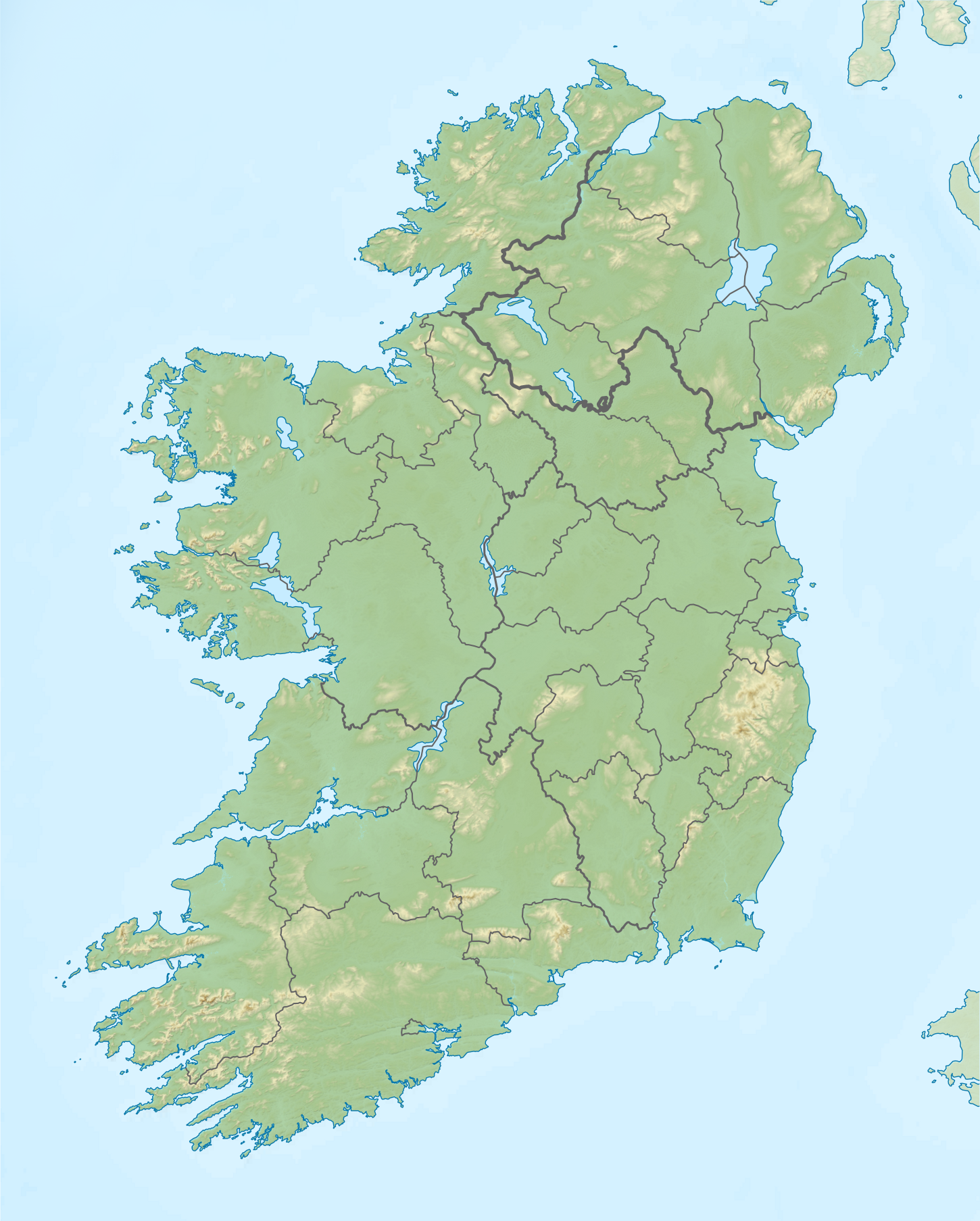
Relief map of Ireland Equirectangular map projection on WGS 84 datum, with N/S stretched 170% Geographic limits:
|
| Дата | |
| Крыніца |
Shuttle Radar Topography Mission
National Geospatial-Intelligence Agency
File:Island of Ireland location map.svg: Rannpháirtí anaithnid
|
| Аўтар | Nilfanion |
| Дазвол (Паўторнае выкарыстанне гэтага файла) |
Гэты файл даступны па ліцэнзіі Creative Commons Пазначэнне аўтарства - На тых самых умовах 3.0 Непартаваная
|
Гісторыя файла
Націснуць на даце з часам, каб паказаць файл, якім ён тады быў.
| Дата і час | Драбніца | Памеры | Удзельнік | Тлумачэнне | |
|---|---|---|---|---|---|
| актуальн. | 15:36, 26 мая 2019 | | 1 450 × 1 807 (2,07 MB) | RaviC | updated per Wikipedia:Graphics_Lab/Map_workshop#Ireland_Relief_Map_-_2014_Changes |
| 07:07, 8 мая 2012 |  | 1 450 × 1 807 (1,75 MB) | Spideog | Removed dark blue shading at top left for aesthetic balance reasons. It was distracting, and the the map is for terrestrial rather than bathymetric purposes. | |
| 01:44, 16 красавіка 2012 |  | 1 450 × 1 807 (1,6 MB) | Nilfanion | {{Information |Description=Relief map of Ireland Equirectangular map projection on WGS 84 datum, with N/S stretched 170% Geographic limits: *West: 11.0° W *East: 5.0° W *North: 55.6° N *South: 51.2° N |Source= [[w:Shuttle Radar Topo... |
Выкарыстанне файла
Наступныя 11 старонак выкарыстоўваюць гэты файл:
Глабальнае выкарыстанне файла
Гэты файл выкарыстоўваецца ў наступных вікі:
- Выкарыстанне ў ar.wikipedia.org
- Выкарыстанне ў az.wikipedia.org
- Выкарыстанне ў bn.wikipedia.org
- Выкарыстанне ў ceb.wikipedia.org
- Выкарыстанне ў ce.wikipedia.org
- Выкарыстанне ў da.wikipedia.org
- Выкарыстанне ў de.wikipedia.org
- Выкарыстанне ў en.wikipedia.org
- Achill Island
- Battle of the Boyne
- Newgrange
- Rock of Cashel
- MacGillycuddy's Reeks
- Hill of Tara
- Magh Slécht
- Lough Derg, County Donegal
- RMS Lusitania
- Turlough Hill
- Mourne Mountains
- Copeland Islands
- Valentia Island
- Skellig Islands
- Carrauntoohil
- Lough Owel
- Lough Ennell
- Treaty of Limerick
- Lough Swilly
- Lough Allen
- Lough Gur
- Mount Brandon
- Lebor na hUidre
- Clarkstown radio transmitter
- Second Battle of Athenry
- Carlingford Lough
- Lough Key
- Killary Harbour
- Clare Island
- Slieve Donard
- Inishmaan
- Slievecallan
- Royal Portrush Golf Club
- Book of Leinster
- Faughan Hill
Паказаць глабальнае выкарыстанне гэтага файла.