
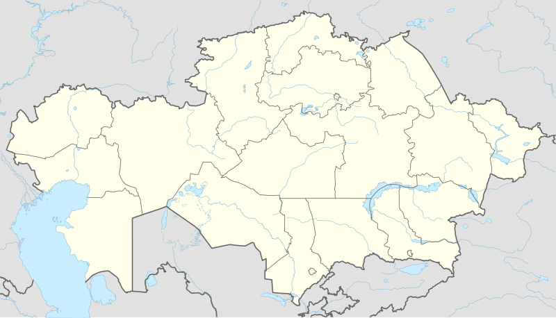
Файл:Kazakhstan adm location map.svg

Арыгінальны файл (файл SVG, намінальна 1 984 × 1 134 кропак, аб’ём файла: 562 KB)
Тлумачэнне
| Апісанне |
Deutsch: Positionskarte von Kasachstan
English: Location map of Kazakhstan
|
||||||||||||
| Дата | |||||||||||||
| Крыніца |
Own work using:
|
||||||||||||
| Аўтар | NordNordWest | ||||||||||||
| Іншыя версіі |
|
||||||||||||
_location_map.svg)

|
This map has been made or improved in the German Kartenwerkstatt (Map Lab). You can propose maps to improve as well.
|
Ліцэнзіяванне
Usage of this file with:

explanatory notes: Legally binding is only the full legalcode. For a free usage I recommend to respect the following licence conditions:
1. Provide my name as given above: NordNordWest,
2. a copy of, or the URI for, the applicable license: https://creativecommons.org/licenses/by-sa/3.0/de/legalcode,
3. the title of the work,
4. in the case of an adaptation, a credit identifying the use of the work in the adaptation.
This license and the rights granted hereunder will terminate automatically upon any breach by you of the terms of this license. Any of the above conditions can be waived if you get permission from the copyright holder. If you have questions or wish differing conditions, please contact me through nnwest or my discussion page ![]() t-online.de
t-online.de
- Вы можаце свабодна:
- дзяліцца творам – капіраваць, распаўсюджваць і перадаваць гэты твор.
- ствараць вытворныя творы – адаптаваць гэты твор
- Пры выкананні наступных умоў:
- атрыбуцыя – вы павінны пазначыць аўтарства гэтага твора, даць спасылку на ліцэнзію і пазначыць ці рабіў аўтар якія-небудзь змены. Гэта можна рабіць кожным зразумелым чынам, але не так, каб наводзіць па думку, што ліцэнзіят падтрымлівае вас або выкарыстанне вамі гэтага твора.
- распаўсюджванне на тых жа ўмовах – Калі вы змяняеце, адаптуеце ці ствараеце вытворны твор на аснове гэтага, то павінны распаўсюджваць атрыманы ў выніку твор на ўмовах такой самай ці сумяшчальнай ліцэнзіі, што і арыгінал.

Гісторыя файла
Націснуць на даце з часам, каб паказаць файл, якім ён тады быў.
| Дата і час | Драбніца | Памеры | Удзельнік | Тлумачэнне | |
|---|---|---|---|---|---|
| актуальн. | 17:16, 4 кастрычніка 2022 | | 1 984 × 1 134 (562 KB) | NordNordWest | upd 2022 |
| 22:45, 21 лютага 2022 |  | 1 984 × 1 134 (554 KB) | NordNordWest | corr | |
| 00:41, 26 чэрвеня 2018 |  | 1 984 × 1 134 (619 KB) | NordNordWest | corr | |
| 18:48, 26 верасня 2014 |  | 1 984 × 1 134 (618 KB) | NordNordWest | == {{int:filedesc}} == {{Information |Description= {{de|1=Positionskarte von Kasachstan}} {{en|1=Location map of Kazakhstan}} {{Location map series N |stretching=150 |top=56 |bottom=40 |left=46 |right=88 }} |Source={{Own using}} * United States Nationa... |
Выкарыстанне файла
На файл спасылаецца больш як 100 старонак. Наступны пералік паказвае толькі першыя 100 з іх. Таксама ёсць поўны пералік.
- Іжэўскае (Акмолінская вобласць)
- Азат (Акольскі раён)
- Айтэке-Бі
- Акбулак (Аршалынскі раён)
- Акжар (Аршалынскі раён)
- Аколь
- Аксукент
- Актасты (Акмолінская вобласць)
- Алматы
- Амангельды (Акмолінская вобласць)
- Анар (станцыя)
- Арнасай (Акмолінская вобласць)
- Арнек (Акольскі раён)
- Аршалы (Акмолінская вобласць)
- Астана
- Атырау
- Бабатай (Акмолінская вобласць)
- Багенбай (Акмолінская вобласць)
- Байдала (Акмолінская вобласць)
- Байканур (горад)
- Балхаш (горад)
- Белаярка (Акмолінская вобласць)
- Берсуат (Акмолінская вобласць)
- Берэке (Акмолінская вобласць)
- Булаксай (Акмолінская вобласць)
- Бясколь
- Валгадонаўка
- Вінаградаўка (Акмолінская вобласць)
- Дамбыралы
- Данецкае (Акмолінская вобласць)
- Енбек (Акольскі раён)
- Ерафееўка (Акмолінская вобласць)
- Ерназар (Акмолінская вобласць)
- Жалгызкарагай
- Жалтырколь (Акмолінская вобласць)
- Жыбек Жалы (Акмолінская вобласць)
- Кайгельды
- Кайнар (Акмолінская вобласць)
- Канстанцінаўка (Акмолінская вобласць)
- Кара-Азек
- Карабулак (Сайрамскі раён)
- Караганда
- Каражал
- Карасай (Акмолінская вобласць)
- Каркаралінск
- Кастамар (Акмолінская вобласць)
- Кенес (Акмолінская вобласць)
- Краснае Возера (Акмолінская вобласць)
- Красны Гарняк (Акмолінская вобласць)
- Курылыс (Акмолінская вобласць)
- Кызыларда
- Кына
- Кырыккудык (Акмолінская вобласць)
- Кірава (Акмолінская вобласць)
- Лясгасп Аляксееўскі
- Макат
- Малааляксандраўка (Акмолінская вобласць)
- Малы Барап
- Мікалаеўка (Аршалынскі раён)
- Мінскае (Акмолінская вобласць)
- Мірнае (Акмолінская вобласць)
- Міхайлаўка (Аршалынскі раён)
- Наумаўка (Акмолінская вобласць)
- Новарыбінка (Акмолінская вобласць)
- Ольгінка (Акмолінская вобласць)
- Падлеснае (Акмолінская вобласць)
- Паўладар
- Петрапаўлаўск
- Пешкаўка
- Раднікі (Акмолінская вобласць)
- Радоўка (Акмолінская вобласць)
- Раз’езд 102 (Акмолінская вобласць)
- Раз’езд 41 (Акмолінская вобласць)
- Раз’езд 42 (Акмолінская вобласць)
- Раім
- Сарыоба (станцыя)
- Сарыоба (сяло)
- Селета
- Семей
- Сцепнагорскае
- Сямірэчча
- Табол (пасёлак)
- Талдыкарган
- Талкара
- Тараз
- Тастыадыр
- Турген (Акмолінская вобласць)
- Уладзіміраўка (Аршалынскі раён)
- Уральск
- Урупінка
- Ушарал
- Філіпаўка (Акмолінская вобласць)
- Цэнтральная Азія
- Чыжа-2
- Шалгай (Аршалынскі раён)
- Шаптыколь (Акмолінская вобласць)
- Шартанды (Аршалынскі раён)
- Шымкент
- Экібастуз
- Якар (Паўночна-Казахстанская вобласць)
Паказаць больш спасылак на гэты файл.
Глабальнае выкарыстанне файла
Гэты файл выкарыстоўваецца ў наступных вікі:
- Выкарыстанне ў af.wikipedia.org
- Выкарыстанне ў an.wikipedia.org
- Выкарыстанне ў ar.wikipedia.org
- Выкарыстанне ў ast.wikipedia.org
- Выкарыстанне ў azb.wikipedia.org
- Выкарыстанне ў az.wikipedia.org
Паказаць глабальнае выкарыстанне гэтага файла.